GROUND GRAVITY
A gravity survey consists of measuring the variation of the Earth's gravity field in order to detect local masses of greater or lesser density than the surrounding formations (bedrock) that consequently produce irregularities in the Earth's gravity field.
The acquisition method consists of measuring gravity stations on the ground by means of loops, which are referenced to a base station that have an arbitrary or absolute gravity value. Gravimetric stations require high precision GPS measurements, plus additional topographic information in order to define in good detail the surrounding topography in the station, especially in survey areas with rugged terrain.

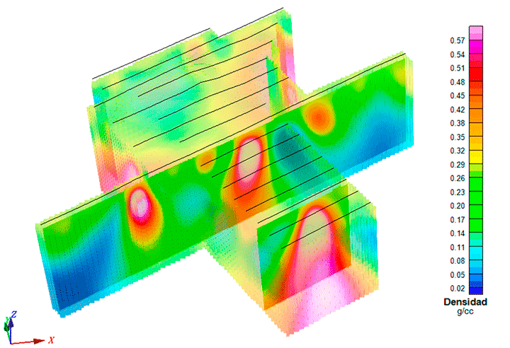
Through the data analysis, 2D/3D modeling and Bouguer anomalies interpretation, the ground gravity method allows the detection of high-density zones, such as massive sulfides, chromite ores, ferrous deposits, stockworks, barite deposits among others; in the same way the method can be applied in the detection of low-density zones such as coal deposits, lignite, salt deposits, placers and karst structures. Additionally, the Bouguer anomaly modeling allows calculating the reserves of the studied deposits. The gravimetric method is also helpful in regional geological mapping of sedimentary basins, batholiths, diapirs, karst, grabens, etc.
