GROUND MAGNETIC
The ground magnetic method measures anomalies in the Earth's magnetic field caused by the magnetic properties of the underlying rocks, in order to investigate the subsurface geology with the best level of detail and accuracy.
The method acquisition consists of establishing base and mobile magnetometers in the survey area. The base magnetometers (fixed in the field) measure the diurnal variation of the magnetic field in the area, while the mobile magnetometers measure the magnetic field response along the survey lines, either in continuous mode (every 2 s) or manually (every 5 meters). The total or diurnally corrected magnetic field is obtained from the difference between the data acquired by the mobile and the base, plus the addition of a reference DATUM.

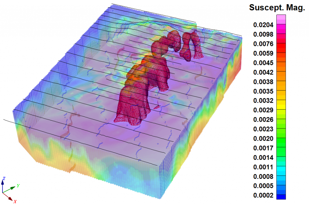
Magnetic prospecting has a wide range of applications. Through analysis, 2D/3D modeling and the magnetic anomalies interpretation, the ground magnetic method allows the location of iron ores and ferromagnetic formations with gold mineralization, skarn deposits, porphyries and mineralization associated with ferromagnetic minerals. On the other hand, the method is applied in the prospection of chromites and manganese, location of sulfide occurrences associated to magnetite and/or pyrrhotite, as well as location of kimberlite veins, asbestos and placer deposits. The method is also very useful in the geological mapping of rock units with magnetic susceptibility contrast, structural mapping (faults, fractures, shear zones, folds, etc.) and exploration of deposits related to bedrock topography (stratiform Pb-Zn deposits, uranium in sedimentary-conglomerate environments).
